Kīlauea’s upper East Rift Zone, beneath Chain of Craters Road within Hawaiʻi Volcanoes National Park, has been experiencing a seismic swarm.
Most of the earthquakes are centered in the region between Puhimau Crater and the Hilina Pali Road intersection at depths of 1–1.8 miles, but they also extend north toward Keanakākoʻi Crater and south to Pauahi Crater. Although the summit region has been inflating since the end of the June 3, 2024, eruption southwest of the summit, there have been no significant changes in ground deformation associated with this escalation of seismicity.
Following the June 3 eruption, magma has been re-pressurizing the storage system beneath Halemaʻumaʻu and the south caldera region, activating earthquakes in the upper East Rift Zone and in the caldera south of Halemaʻumaʻu.
At this time, it is not possible to say whether this increase in activity will lead to an intrusion or an eruption in the near future, or simply continue as seismic unrest at depth. Previous eruptions and intrusions beneath the upper East Rift Zone have occurred in the vicinity of Pauahi Crater and Hiʻiaka Crater to the southeast and around Luamanu and Keanakākoʻi Craters at the margin of the caldera. This region erupted several times during the 1960s–1970s; the most recent eruption took place over a single day in November 1979 within and near to Pauahi Crater.
Currently, there is no indication that magma is moving towards the June 3, 2024, eruption site southwest of the caldera. However, changes in the character and location of unrest can occur quickly, as can the potential for eruption.
The USGS Hawaiian Volcano Observatory will continue to provide daily updates for Kīlauea volcano. Should volcanic activity change significantly, a Volcanic Activity Notice will be issued.
For more information visit https://www.usgs.gov/programs/VHP/volcanic-alert-levels-characterize-conditions-us-volcanoes.
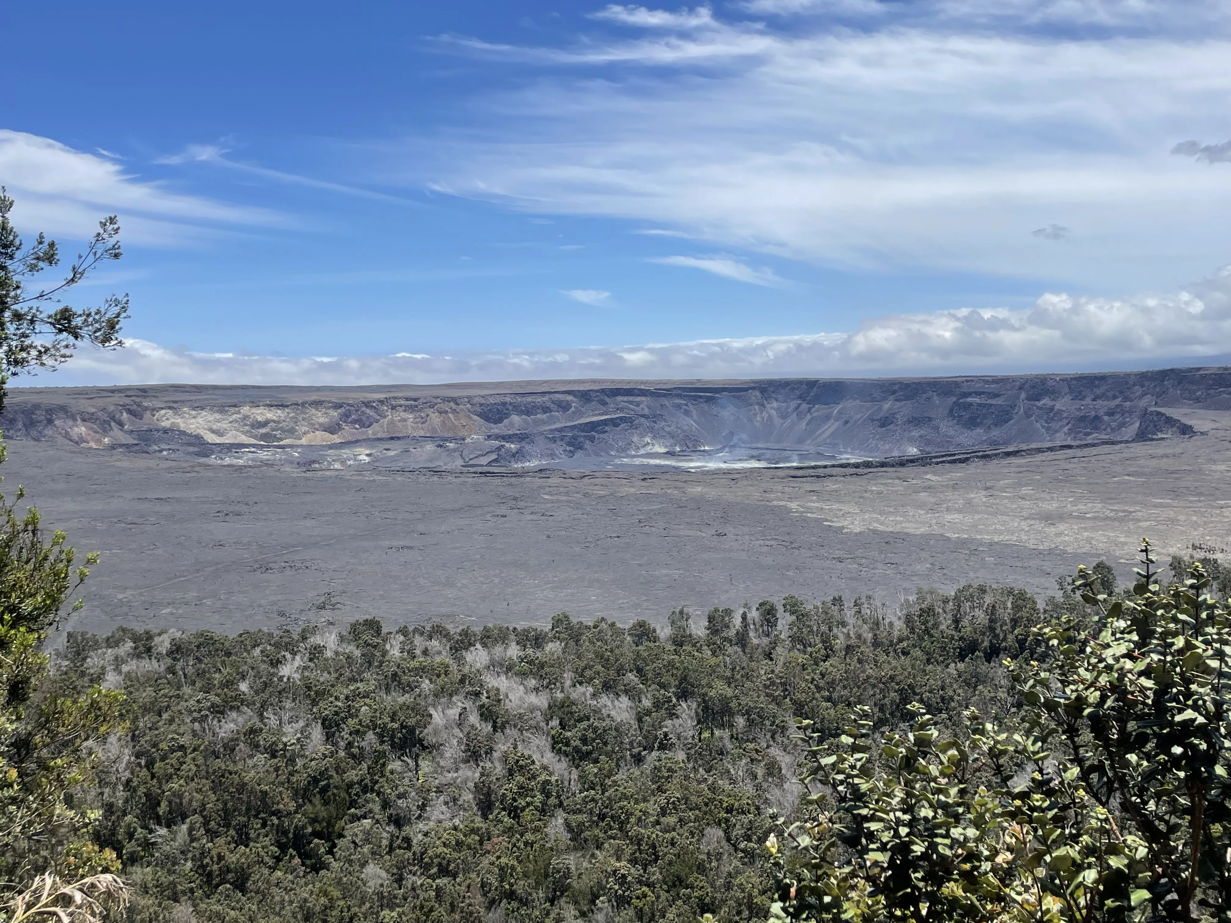
Photo credit: USGS